
It was a smoggy day in the Sacramento-San Joaquin River Delta, but that didn’t stop me from wanting to take pictures of it.

Nothing says Sacramento River like a rusty old barge.
The Delta isn’t necessarily everybody’s preferred destination in the Golden State, but it’s for that reason that I’m fond if it. While most people associate California with ocean bluffs and mountainous national parks, it’s important to remember that our capital, the historic heart of California as an American concept (rather than a Spanish concept), sits on the swampy marshes of a flood-prone river delta.
Sacramento was the inland port that brought people to the gold mines in the Sierra Foothills. Through Sacramento traveled the eager, opportunistic masses that brought California into statehood through their lust for mineral riches. Sure, San Francisco was an important gateway (or… say… a golden gateway perhaps), but Sacramento was home.
That is to say, if San Francisco was the mouth, Sacramento was the stomach, and the Central Valley and Sierra Foothills were the small and large intestines. Bakersfield was, and still is the rectum.
Just kidding, Bakersfield. We all love Merle Haggard. But I digress. Here is another picture:

California’s Southern Louisiana.
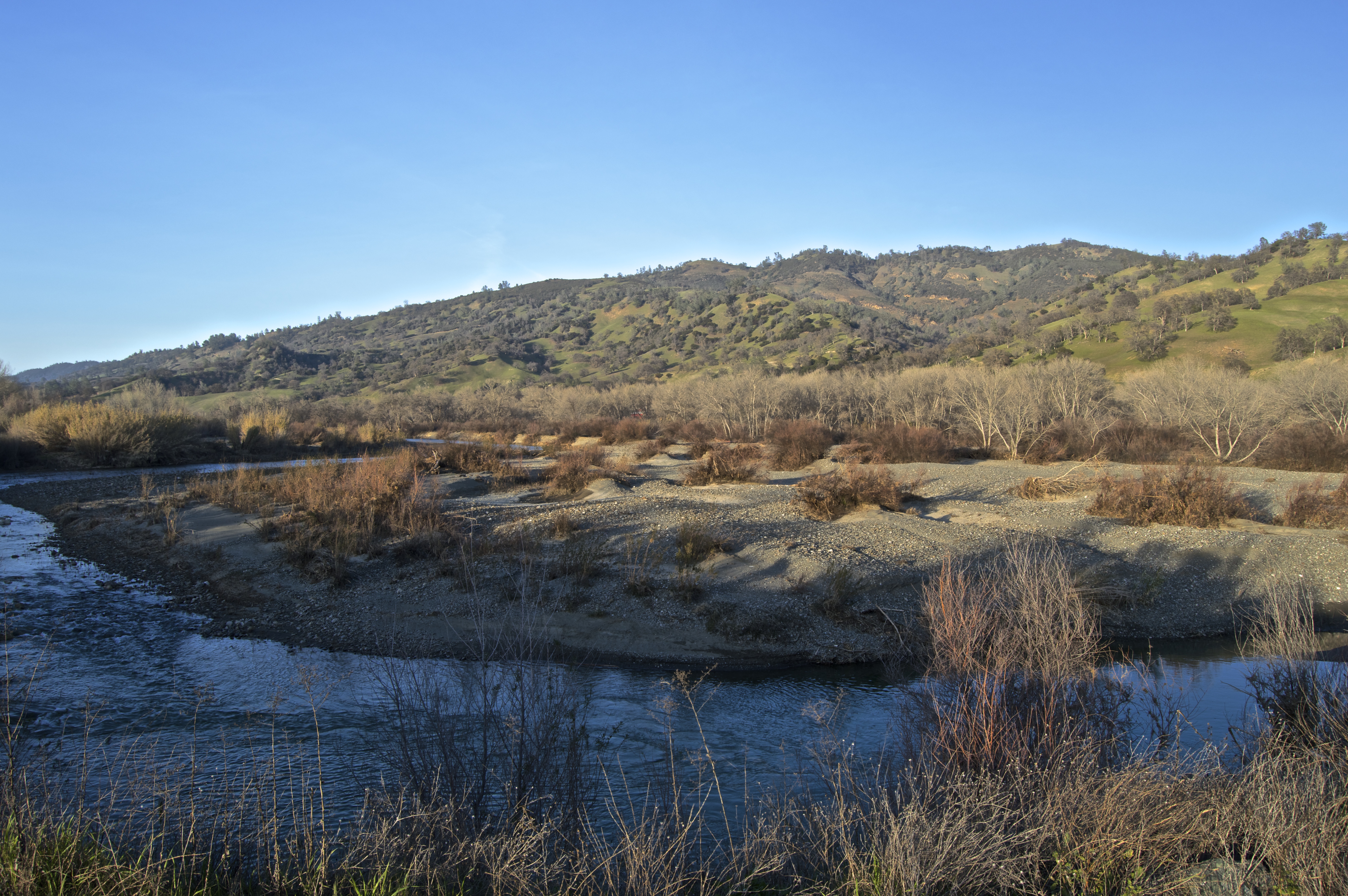
Leaving Sacramento, I went westward to Yolo County, a place whose residents are surely more than tired of bros exclaiming their joy at discovering there is in fact a place called Yolo County.
For people familiar with Yolo County, they probably know it for Davis, the home of the University of California, Davis, and for being an endless stretch of farms and freeways that go places you want to go. Little known, however, is that the western half of Yolo County is made up of oaken hills and trickling creeks.
“YOLO!” is something people here are probably sick of hearing.
Yolo County was so named not for drunk UC Davis students carousing about fields, but rather for a Native American word meaning something like, “place abounding in rushes (the plant, not the action),” or perhaps it was from the name of a chief named “Yodo” or “Yoda.” Yes, let’s go with “Yoda.”


Good photos; like the layers of trees and water in the third snap.