The attempt at kickstarting this project through Kickstarter failed, so the goal of creating a photo book is now distant. However, I’m not giving up on pursuing the project as hobby, and I’m going to be using this blog as the means through which I can generate content and receive feedback.
What is the goal? Create a collection of photographs detailing each and every county of the State of California in contrasting seasonal contexts.
So I start with my first journey, and really my first foray into the world of using a camera that isn’t also a phone.
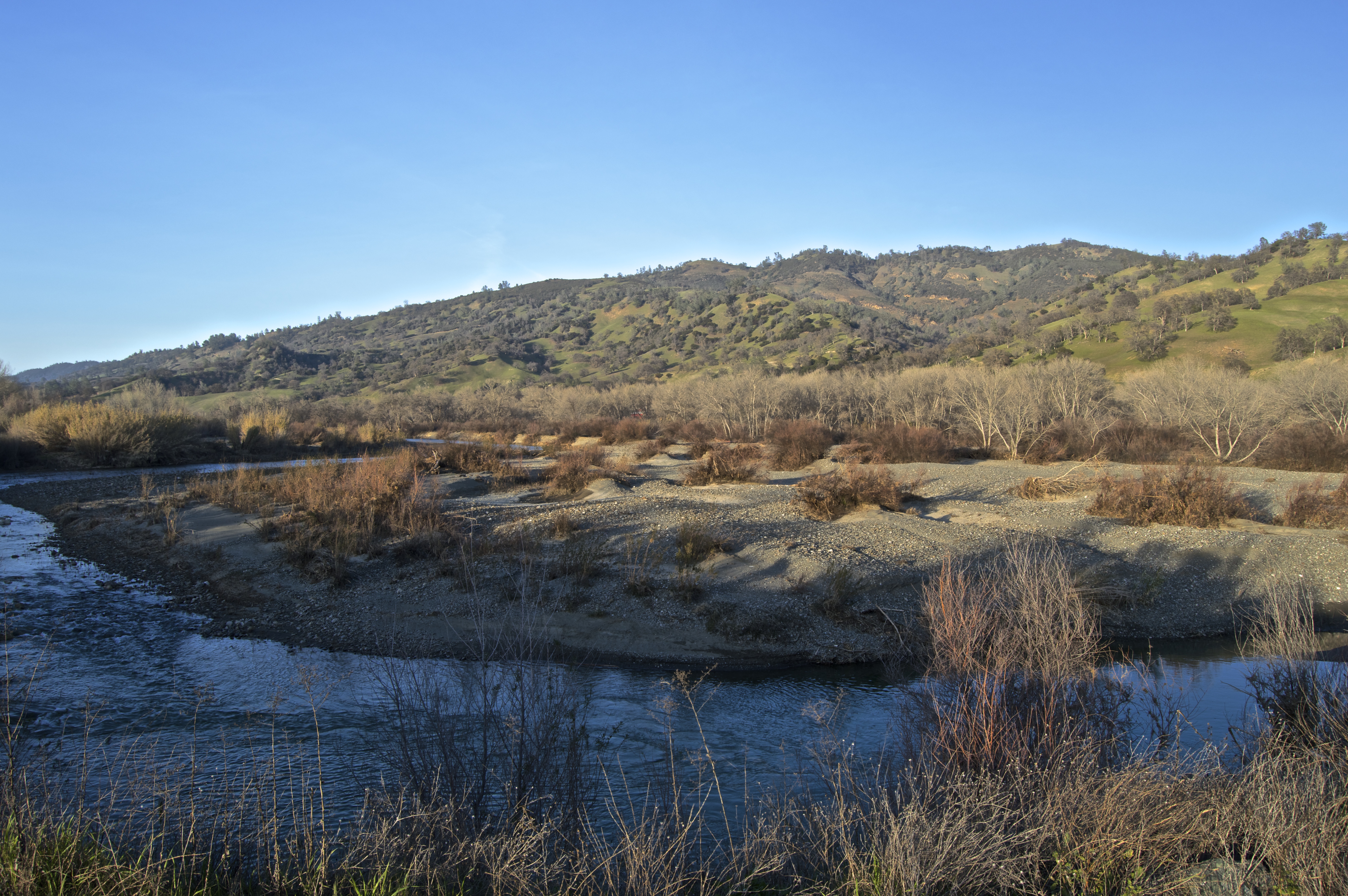
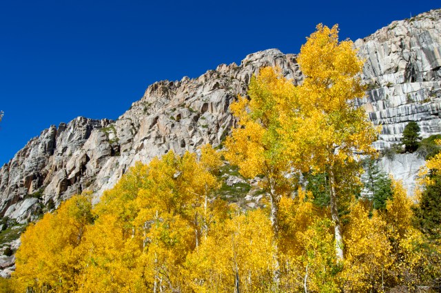
Two weeks ago, I traveled east of the Sierra Nevada to attempt to capture whatever fall foliage there might be. Here are some of the highlights. Since this is a county-based idea, I will proceed county by county.
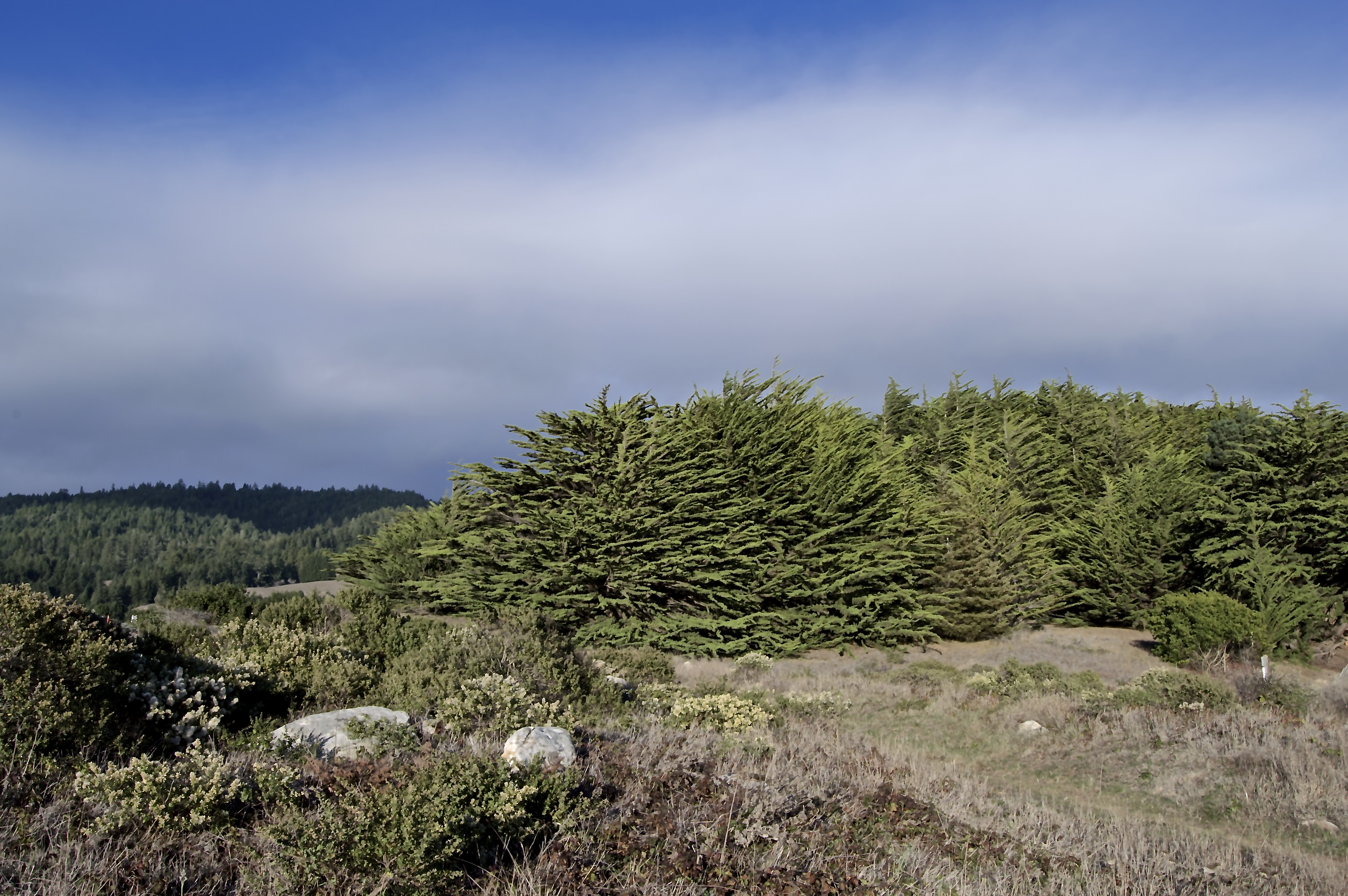
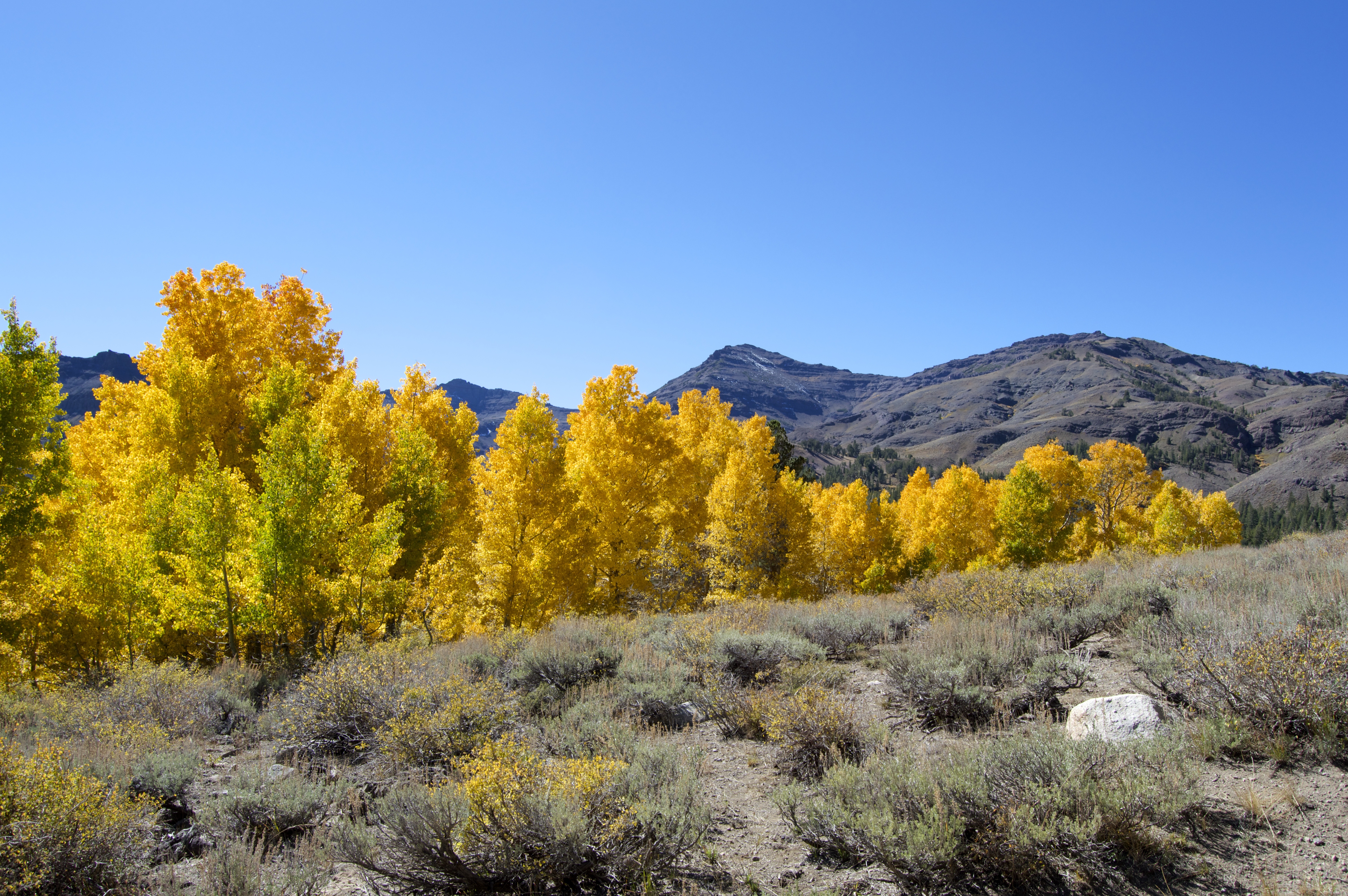
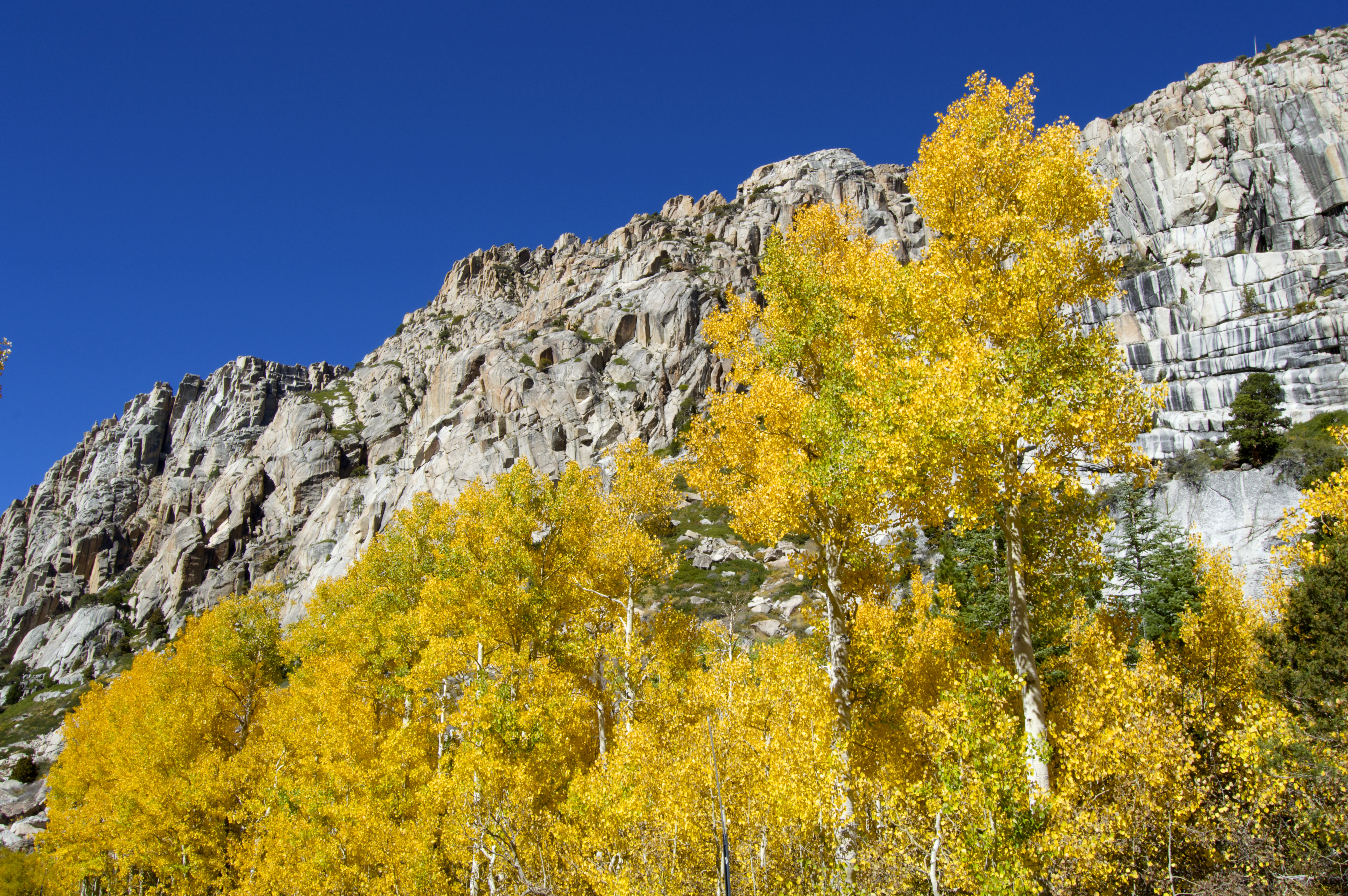
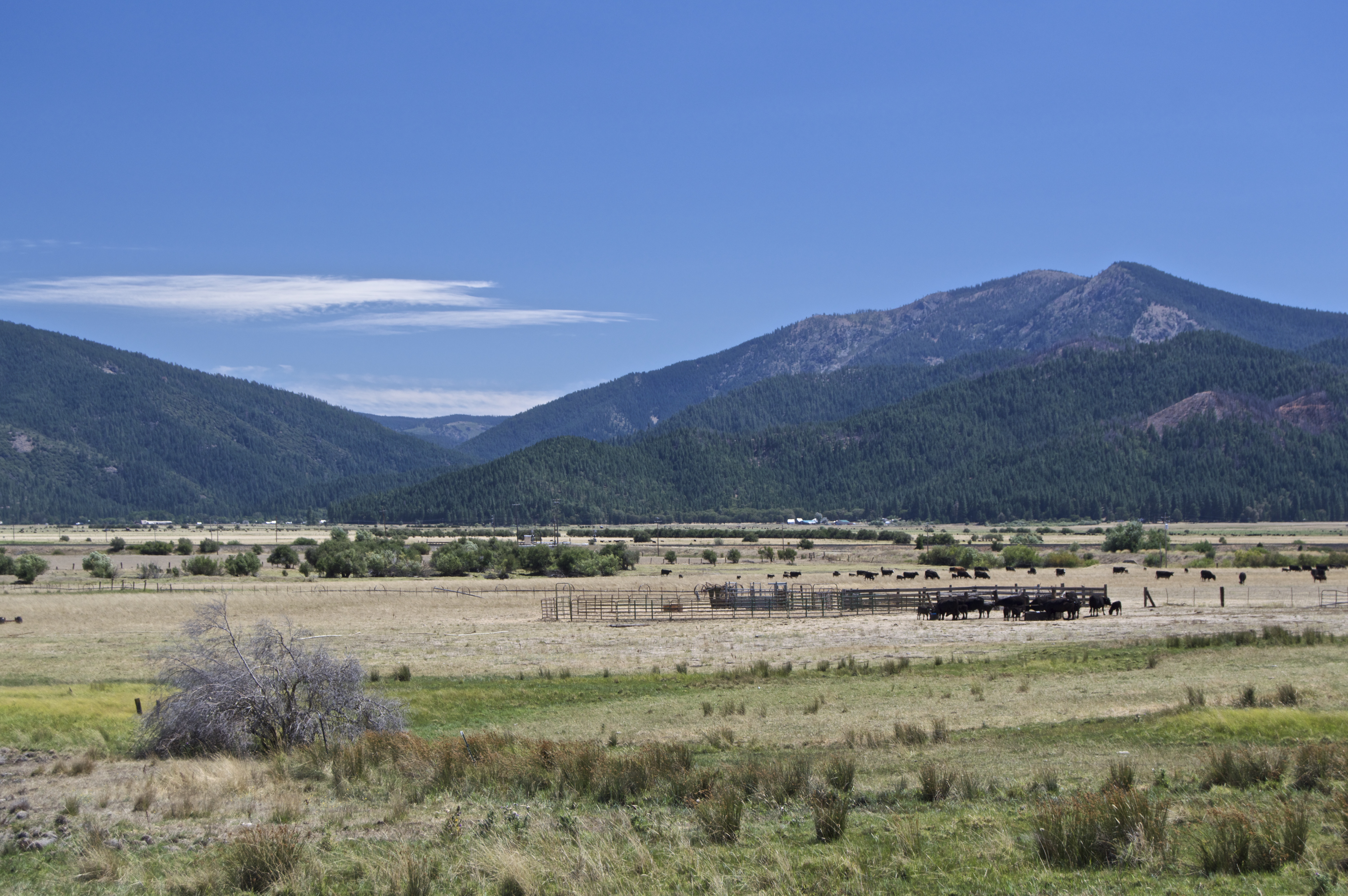
Alpine County: the remote corner of the state. It has the smallest population of any California county: 1,175.
What I like about the Eastern Sierra is its stark remoteness. While Alpine County isn’t technically part of the Eastern Sierra (since most of it lies west of the Sierra Crest), I appreciate this shot for capturing how the lush montane forest immediately meets the desert sage as the mountains descend into a valley.
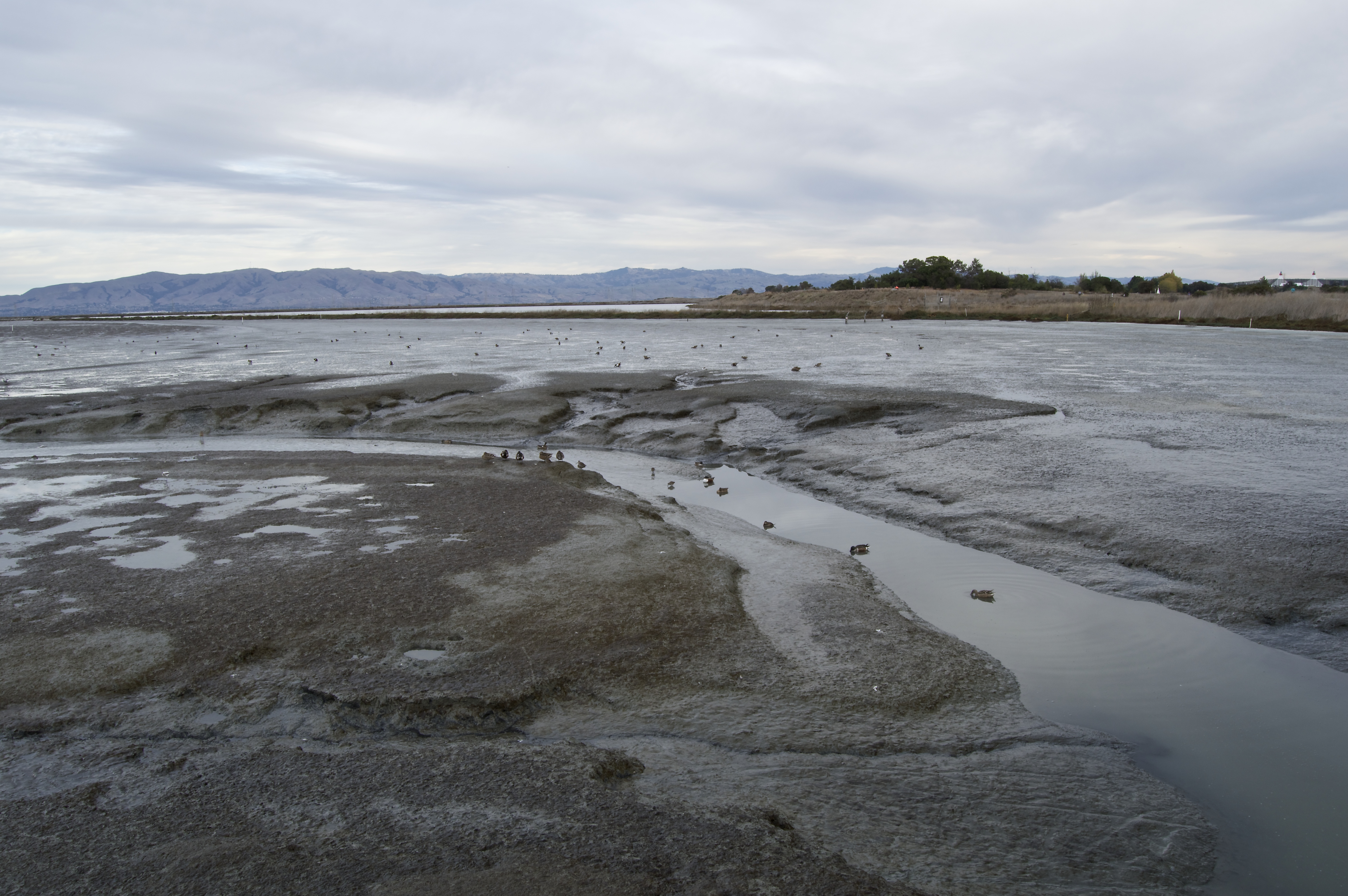
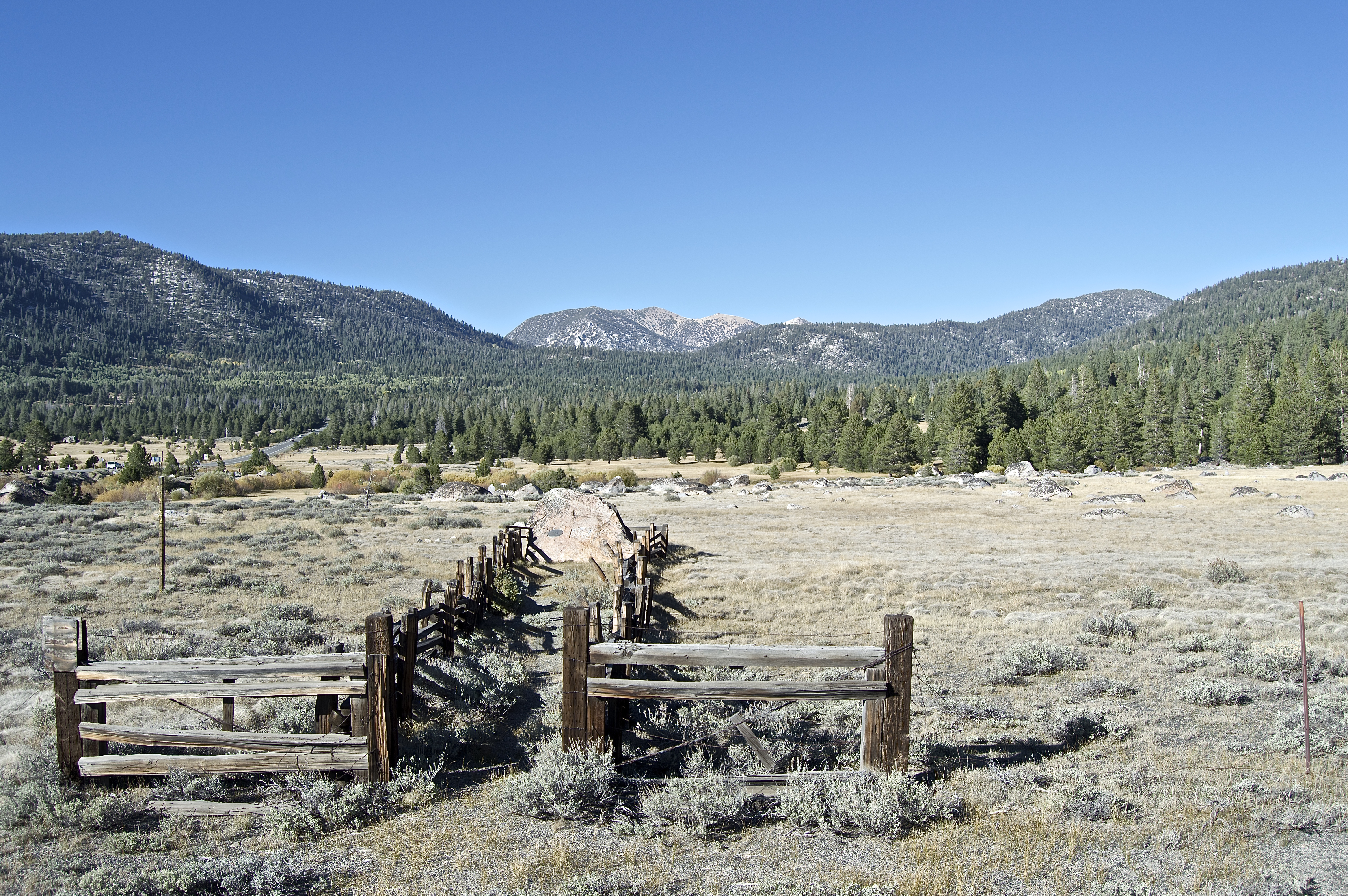
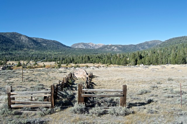
I have a lot more pictures of the much more traveled Mono County.
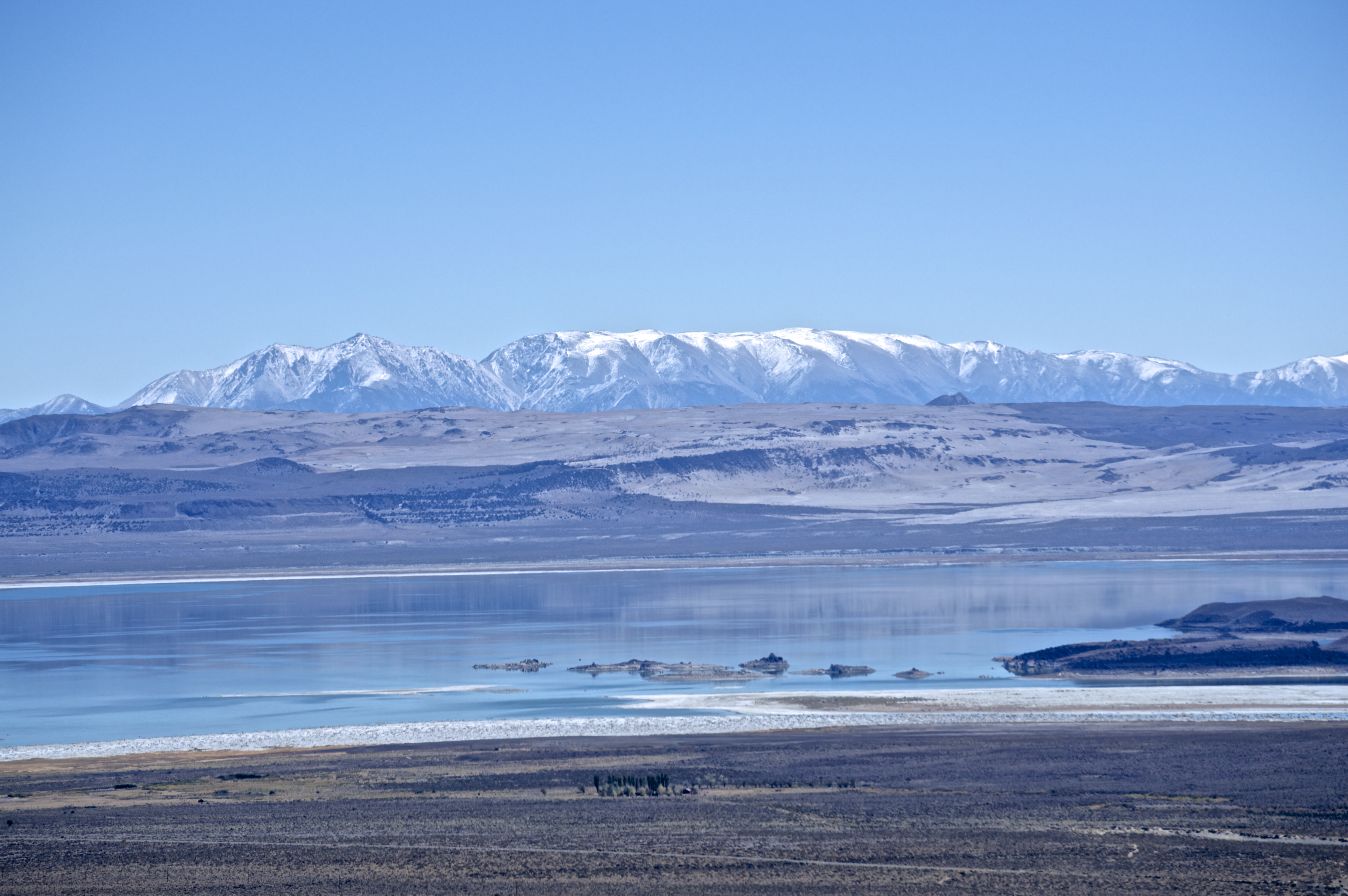
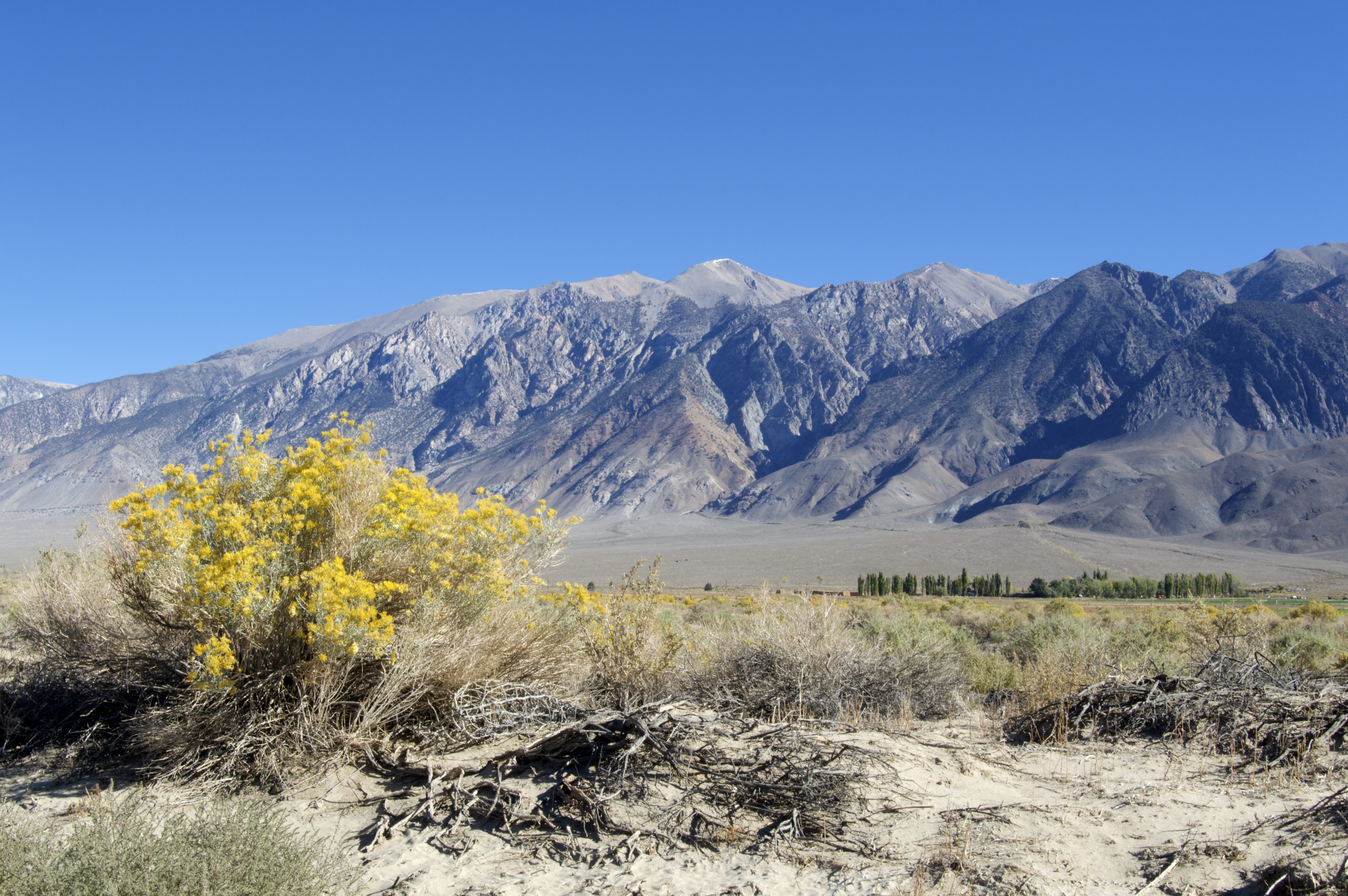
Mono County has a population of 14,202. It’s still small, but not nearly as small as its northern counterpart. It’s named for Mono Lake, the central feature of its geography.
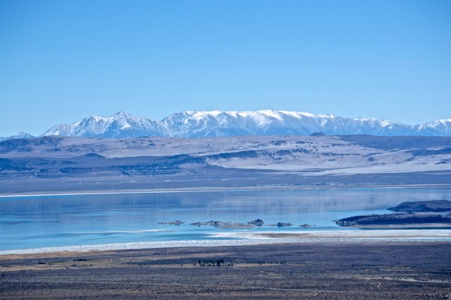
A fraction of Mono Lake with the White Mountains in the background.
Mono Lake was named for the Mono People, a native Paiute tribe indigenous to the Eastern Sierra. Mono Lake may be one of the oldest lakes in North America, but starting in 1941, the City of Los Angeles began diverting water from the Mono Basin, shrinking the lake and threatening its existence. Due to conservation efforts, Los Angeles was required to restore the lake to previous levels, a process which is ongoing.
The lake is an enigma. It stands on a barren piece of earth, in the rain shadow of the Eastern Sierra, and yet it provides such a lush environment for migratory birds. Its famed tufa columns (not pictured here) seem to defy sense and gravity.
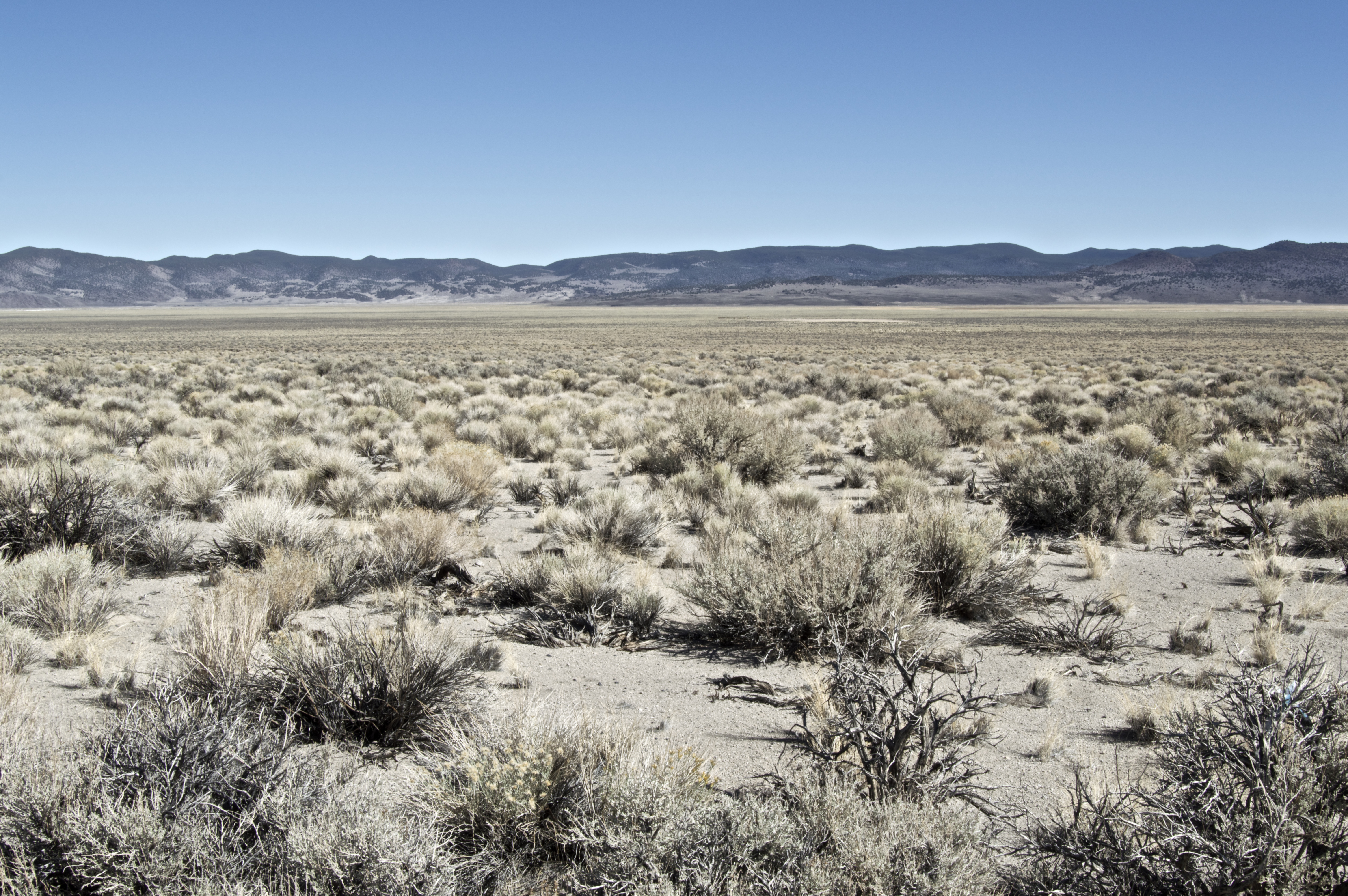
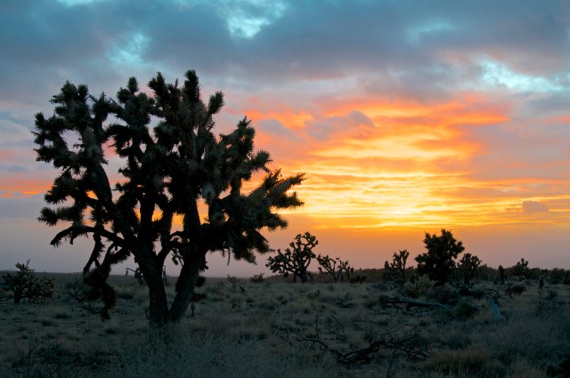
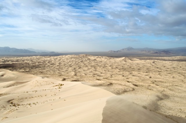
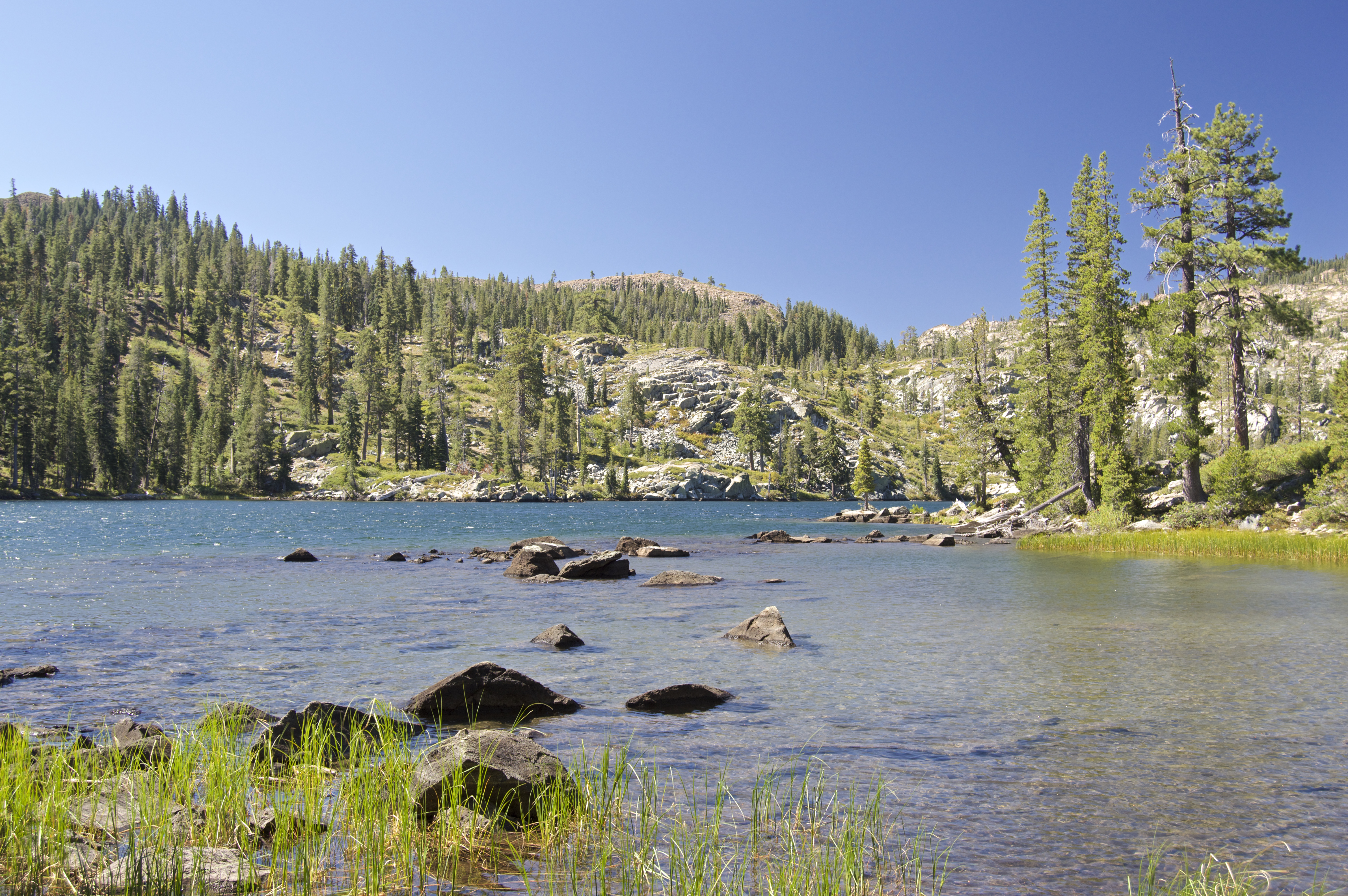
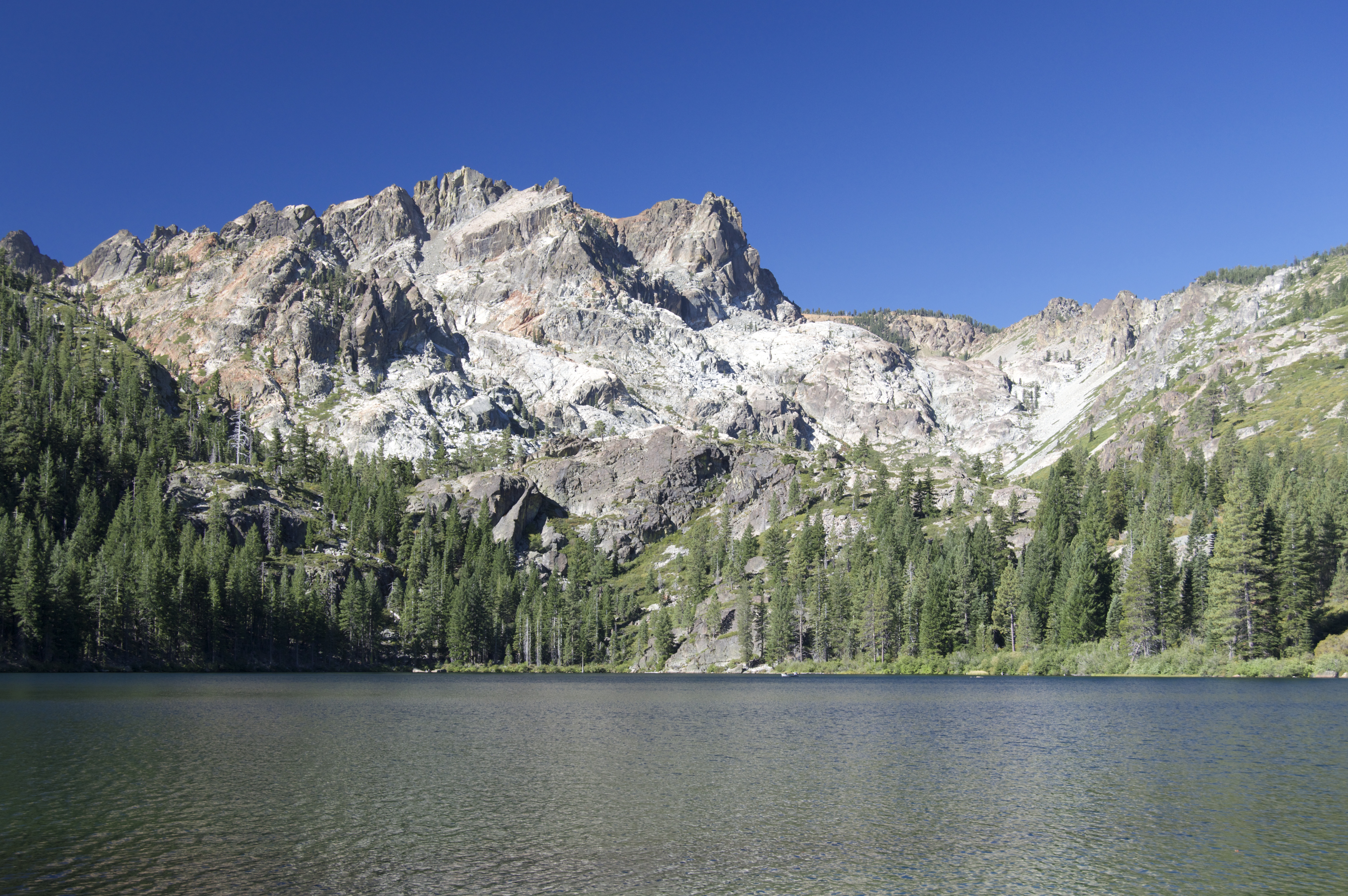
The lake is cool and all, but what really attracts me to Mono County is the diversity of landscape from the desert…

…to its mountain passes…

…and all its peculiarities in between.

There are many more pictures where that came from, but I would like to continue on to a county dear to my heart: Inyo County.
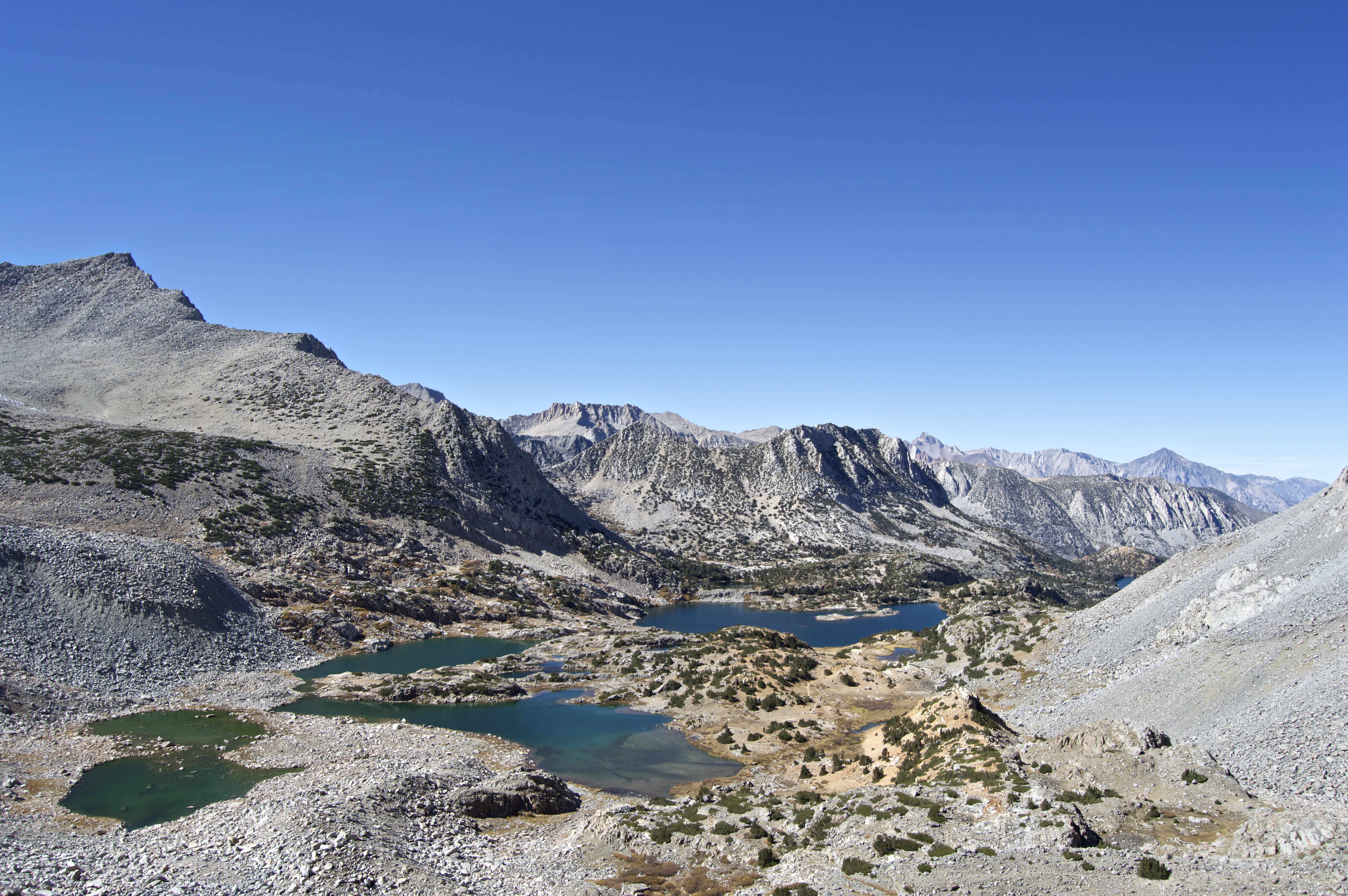
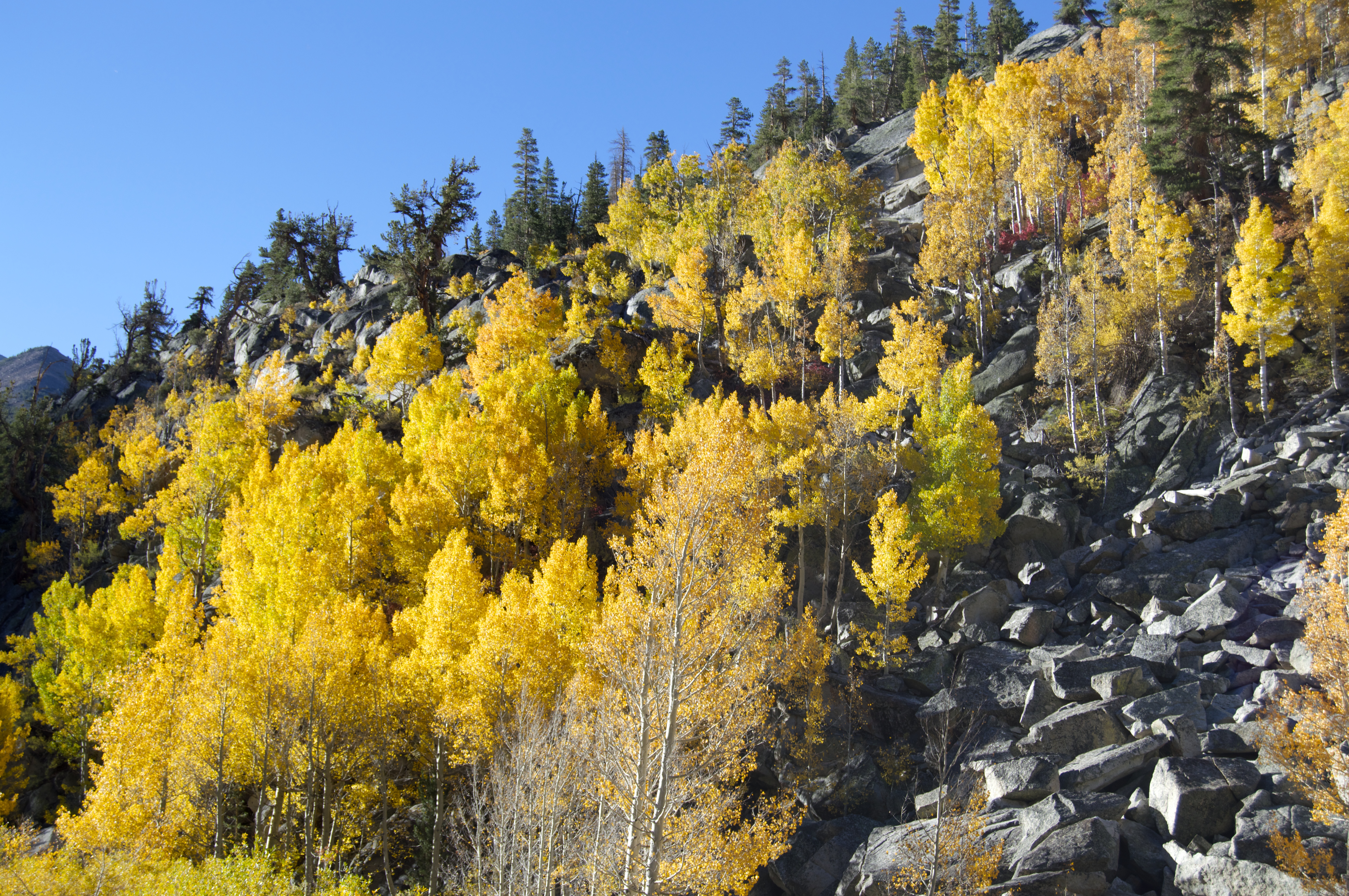
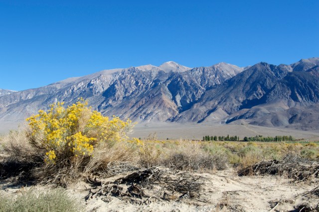
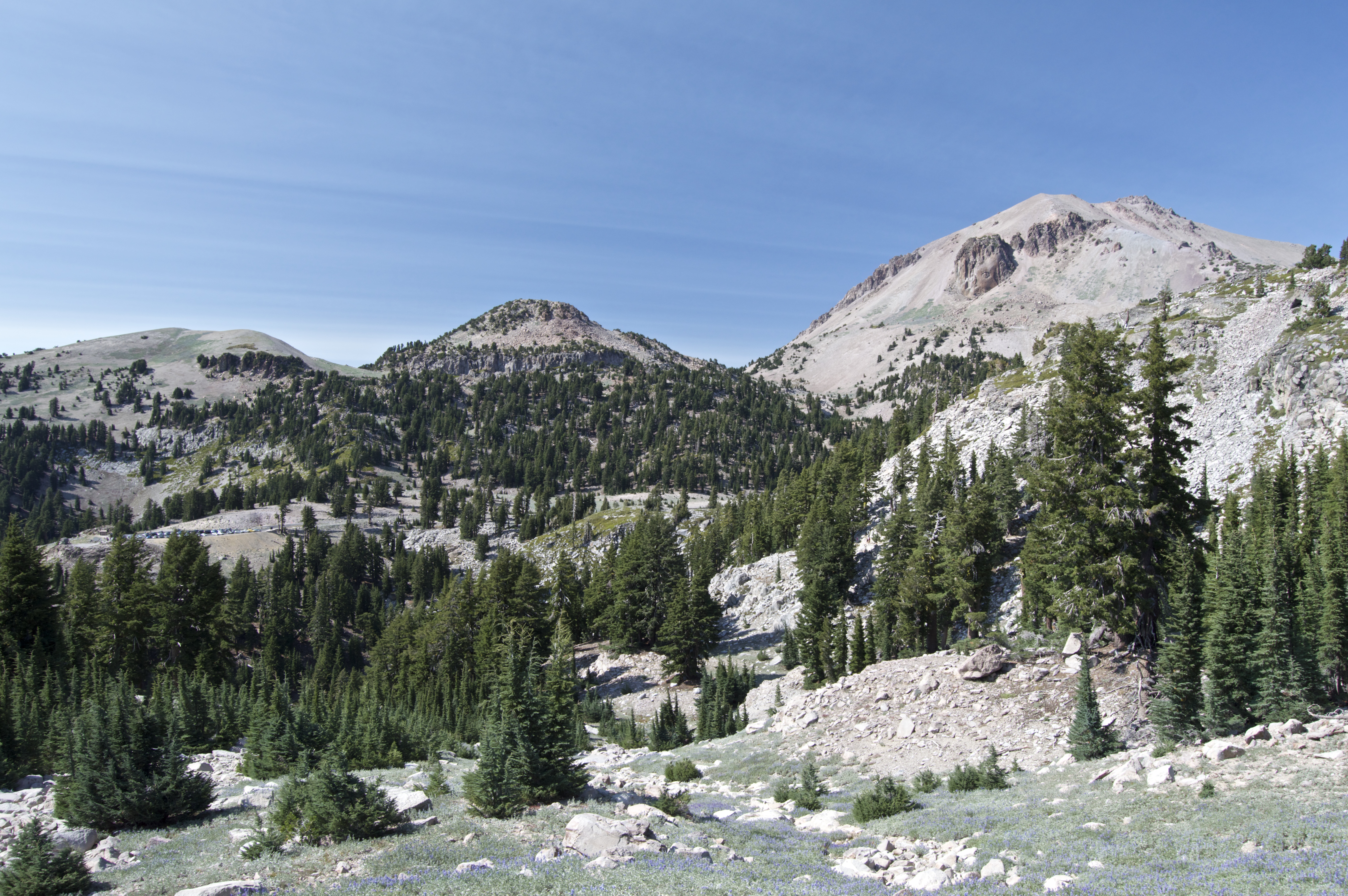
Inyo County contains both the highest point in the 48 contiguous states (Mount Whitney) and the lowest point in the Western Hemisphere (Badwater Basin of Death Valley). A special gem of the county is the John Muir Wilderness of the Inyo National Forest, east of the Sierra Crest and the Sequoia and Kings Canyon National Parks. It is truly sublime.
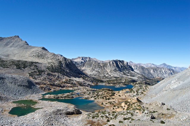

It even had a fair bit of autumn foliage.

I’d like to end this with two pictures from places that aren’t technically in the Eastern Sierra, one from Tuolumne (too-ALL-oh-me) County (better known for Yosemite)…
…and one from Fresno County, known for farms, air pollution, cattle ranches, and the breathtaking alpine tundra of Kings Canyon National Park:


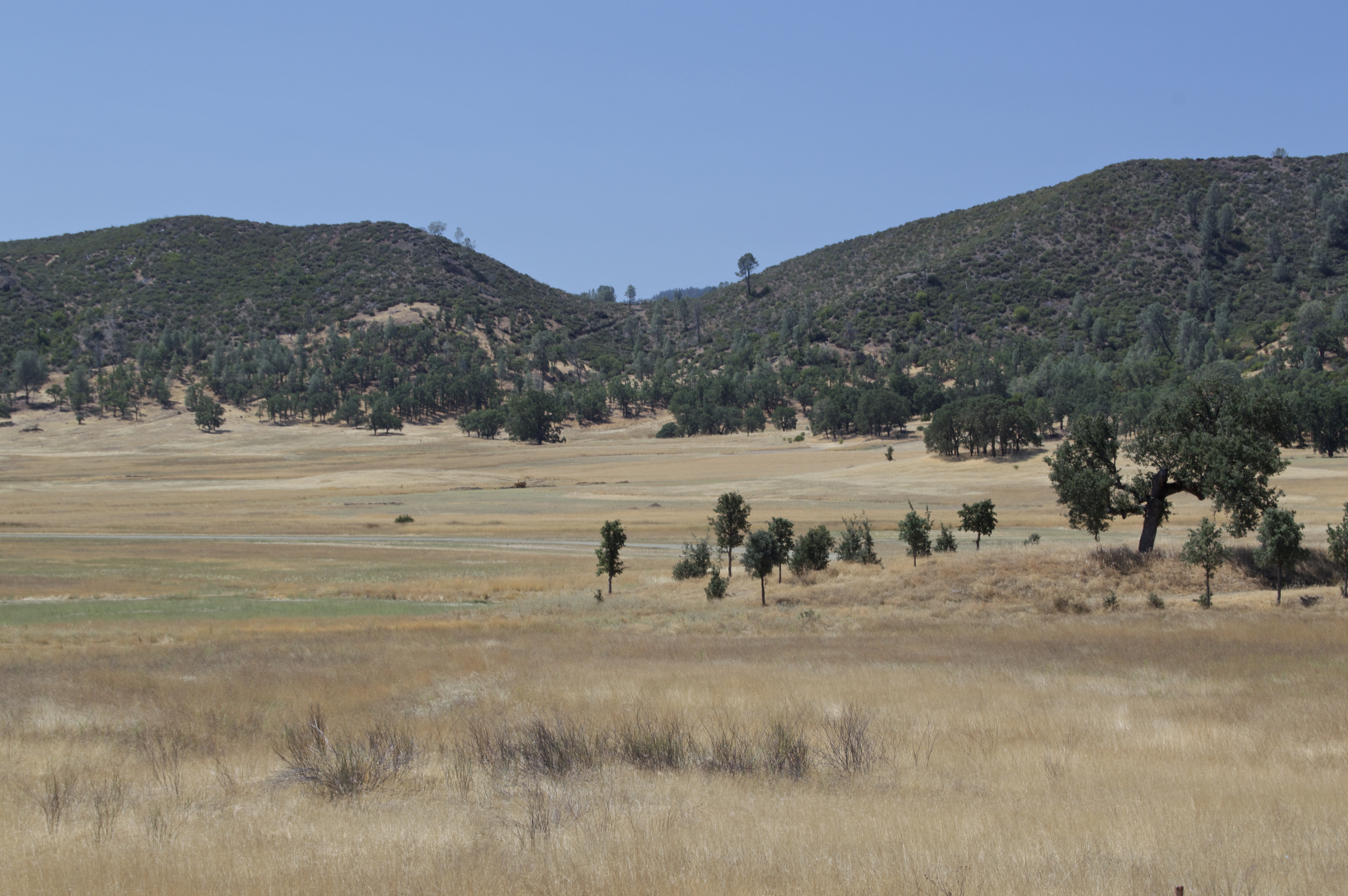
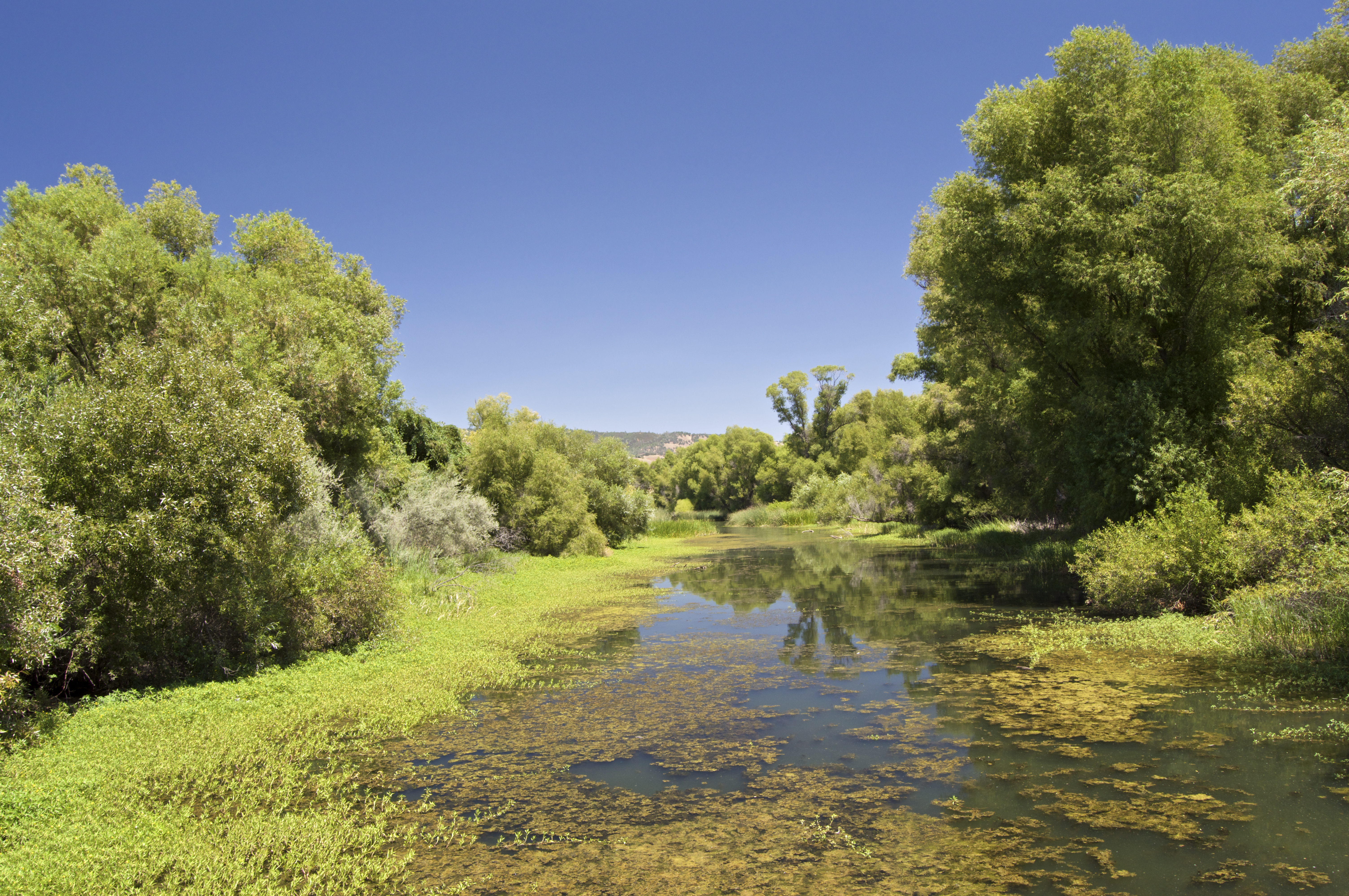
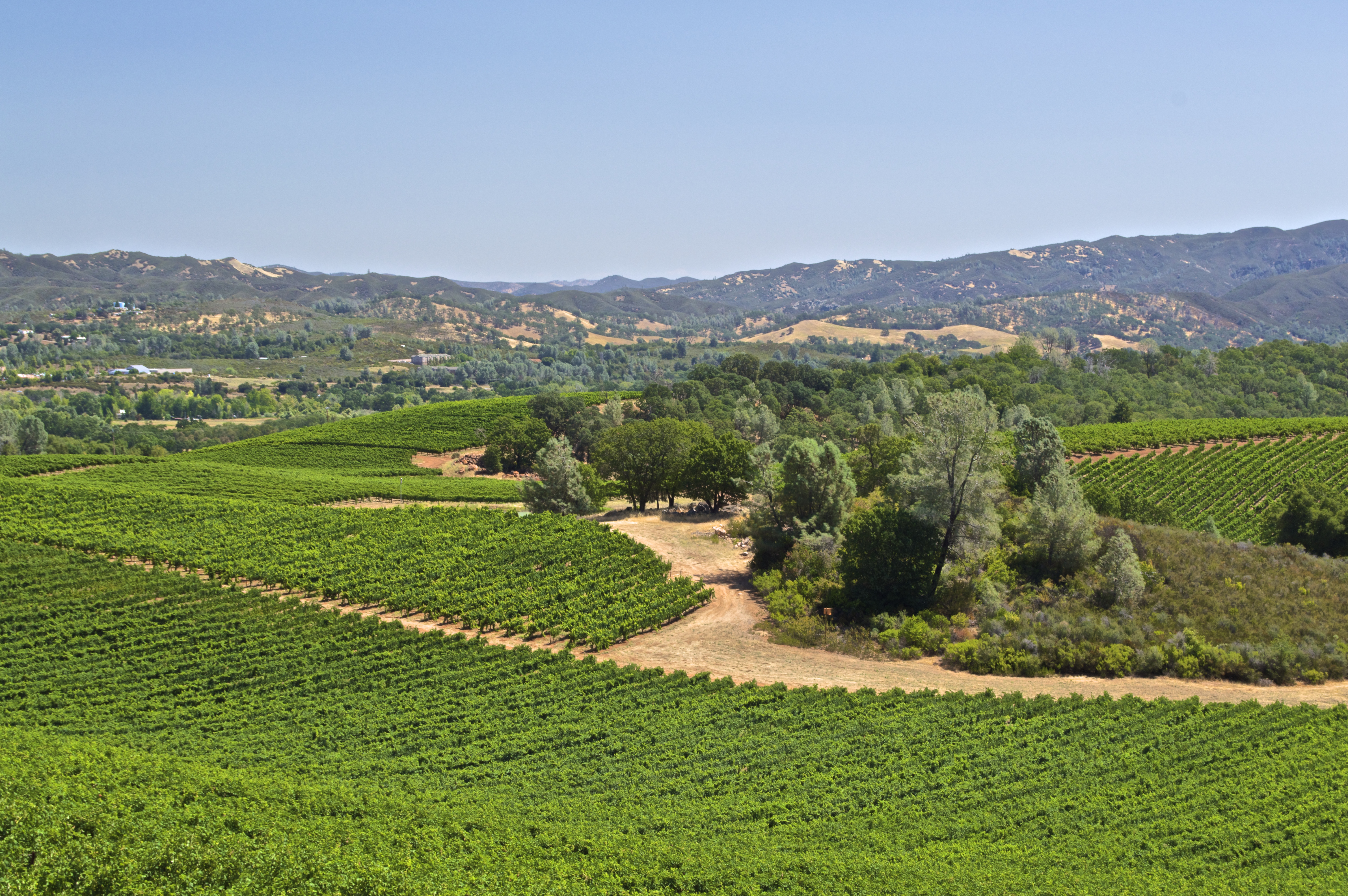
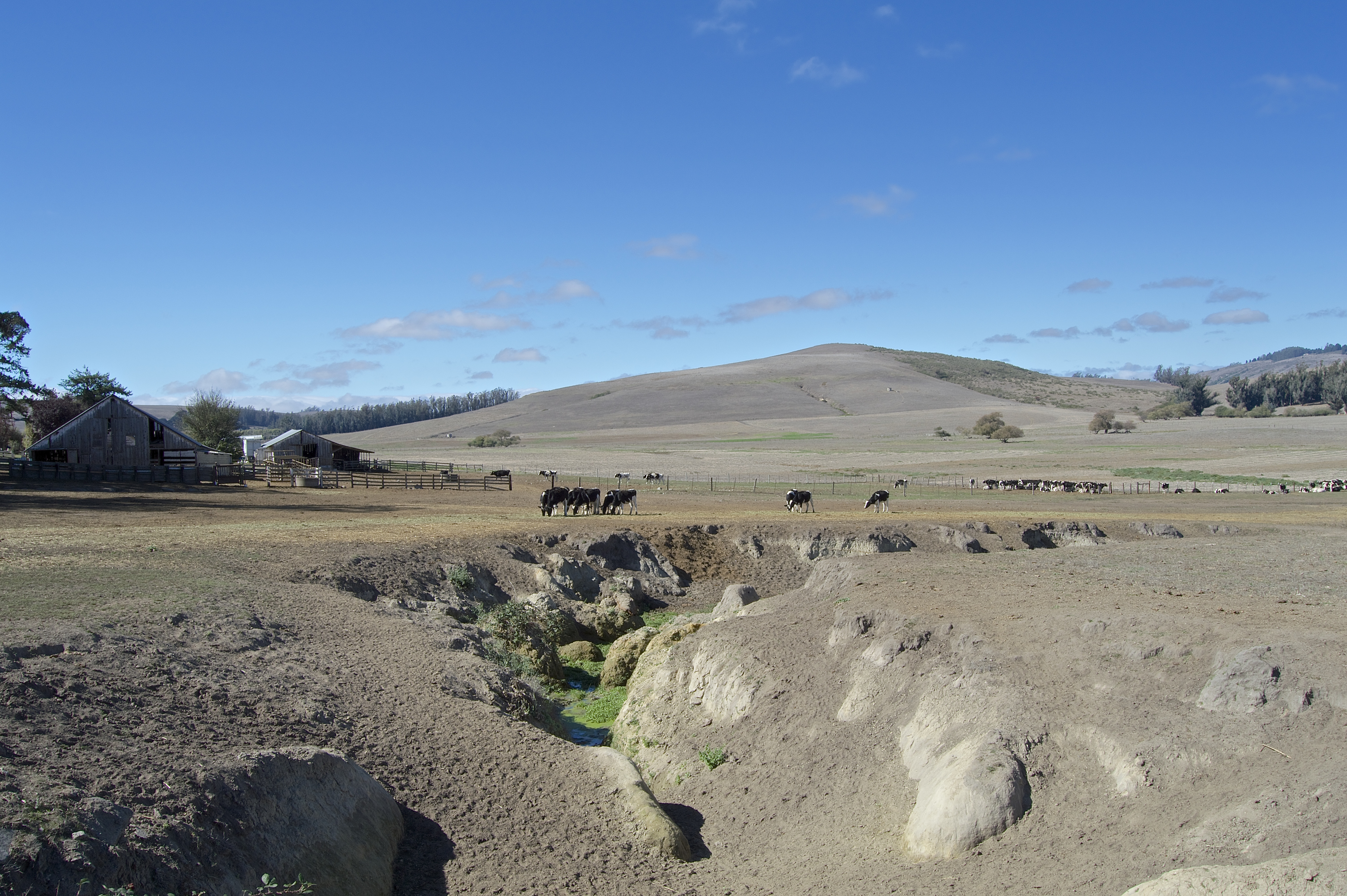
 Clear Lake, or as my father likes to call it, Blue Collar Lake Tahoe, is shockingly the largest natural lake wholly within California. I say “shockingly” because it rests in the mountains behind a rain shadow in an arid chaparral environment with no major river inlets. There is no snow pack as there is with the Sierra Nevada, and summers typically have temperatures at an upwards of 100 degrees Fahrenheit. Not to mention, it is surrounded by wine country, whose cash crop is notorious for excessive water use. How a lake ever existed there in the first place is beyond me, let alone how it continues to survive humanity.